Visit Bentonite Hills, Utah: The Rainbow Mountains and ‘Mars’
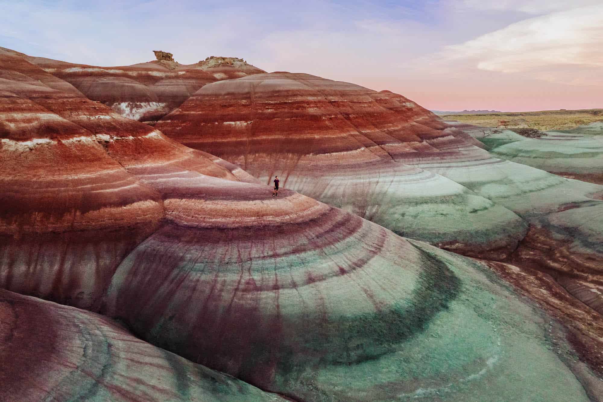
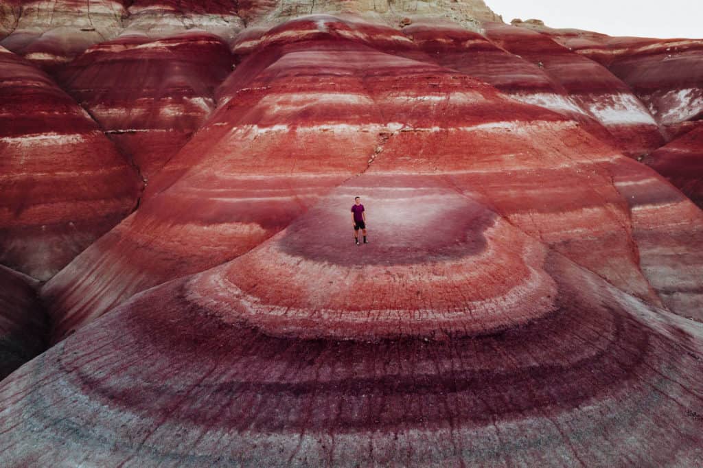
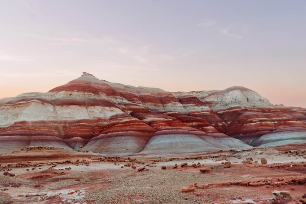
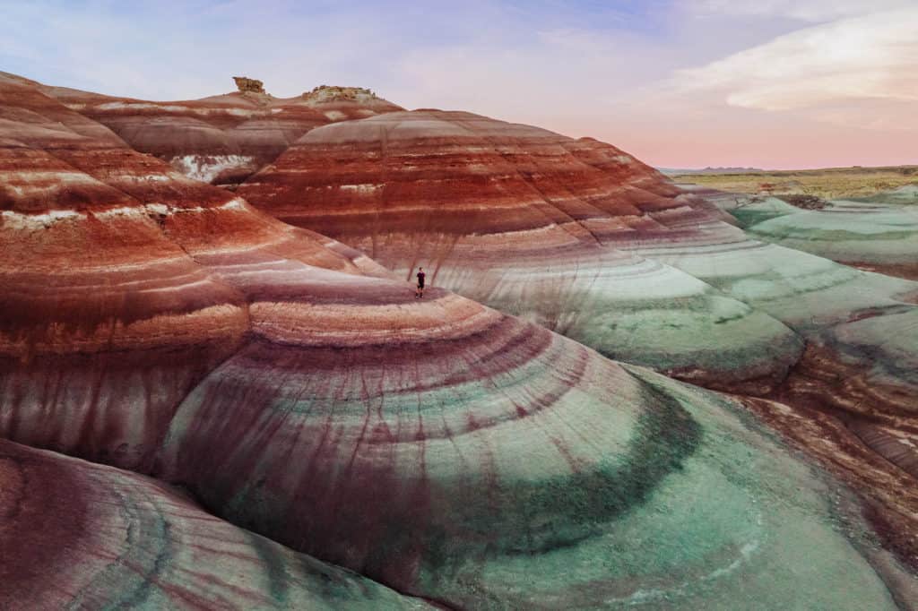
Bentonite Hills, Utah, is famous for the rainbow rings around the mountains, which some say look like Mars.
In fact, the environment is said to be the closest to Mars that can be found on Earth, which is why the government leases land here to conduct experiments on what life on Mars could be like.
There are a few spots in Southern Utah considered Bentonite Hills, which are rich with deposits of clay and ash, and ringed with colors.
Key Info on Visiting Bentonite Hills, Utah
- The most vivid rainbow rings can be found near Hanksville, Utah.
- This is Bureau of Land Management property.
- The Bentonite Hills area is to the public, without fees.
- No permits or reservations are needed to visit “Mars Utah.”
- Drones are permitted to fly above the Bentonite Hills.
- It’s best to visit just before sunset.
BENTONITE HILLS, Utah: The RAINBOW MOUNTAINS
Where are the Bentonite Hills in Utah?
The area is in a remote part of Utah, which is close to Capitol Reef National Park. The closest town is Hanksville, Utah.
The GPS coordinates are: 38.4126417692694, -110.78361130109153
It’s a great stop if you’re on a road trip through the area, say on a drive between Canyonlands National Park and Capitol Reef National Park.
It’s north of the Glen Canyon National Recreation Area, which spans Southern Utah and Northern Arizona.
Bentonite Hills are a full three-to-four-hour drive from Salt Lake City.
From St. George, Utah, there’s no easy way to get to Bentonite Hills. It’s a four-to-five-hour drive, depending on your route.
From Moab, Utah, which is home to Arches National Park, it’s much closer: less than a two-hour drive. Plus, after experiencing the crowds in Moab, you’ll enjoy the peace and quiet of Hanksville!
Tours of Bentonite Hills
As Bentonite Hills gains in popularity, a few tour companies based around Capitol Reef National Park in the Torrey area are starting to offer guided tours.
These are great options, if you don’t want to make the dirt road drive on your own:
➡️ Click for Tour: Bentonite Hills, Moonscape Overlook, Factory Butte
➡️ Click for Tour: Bentonite Hills Half-Day
How to get to the Rainbow Mountains of Utah
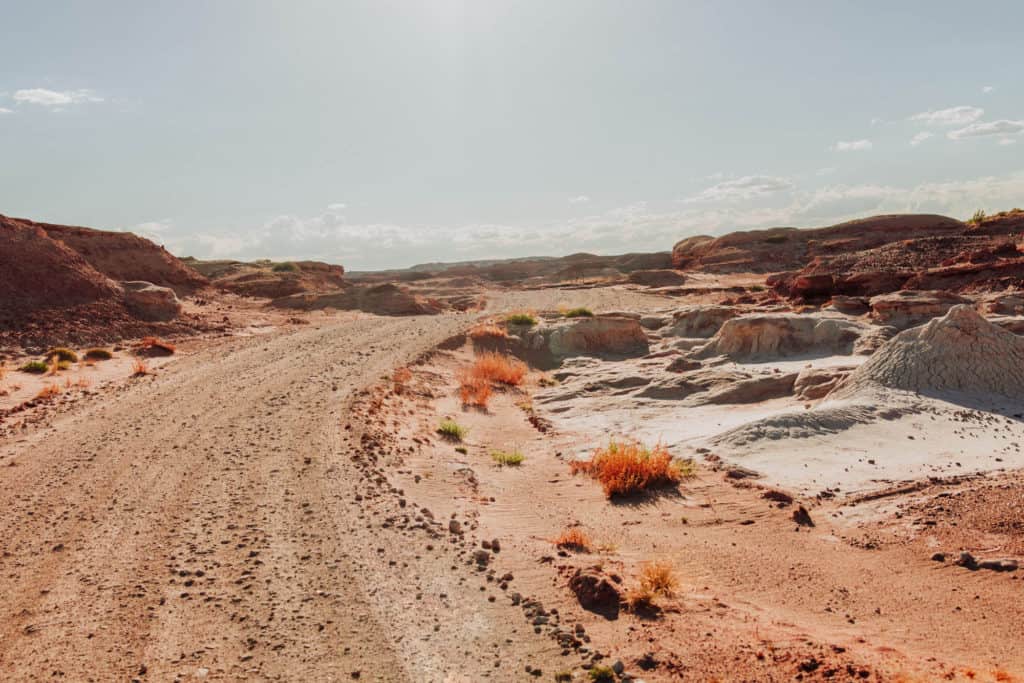
About four miles east of Hanksville, Utah, along State Highway 24, you’ll come across an unmarked dirt road, which is called Cow Dung Road on Google Maps.
For real! Cow Dung Road. I wish it had a sign or marker!
You’ll head north on Cow Dung 😊 , which winds around for a little more than three miles.
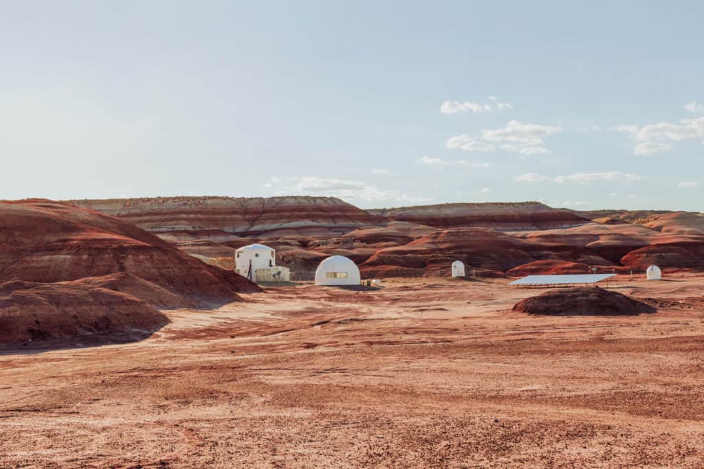
At that point, you’ll spot the MARS Desert Research Station on the left.
Keep driving up the road to the most scenic spot, where you can park, roam around, take photos, and launch your drone.
Directions to Bentonite Hills Utah:
- From Hanksville, Utah
- West on Highway 24
- 3.5 miles
- North on Cow Dung Road
- 3 miles on dirt road to MARS
- Keep going another quarter mile to Bentonite Hills
Is 4×4 needed to get to “Mars Utah”?
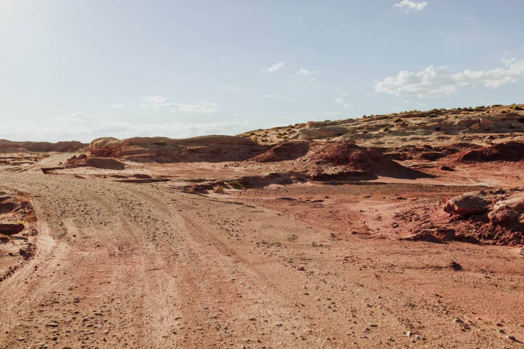
We rented a 4WD Jeep to get there just in case, but the road had been recently graded.
I’d take a higher-profile vehicle, but under ideal conditions, you’ll be fine without a 4×4.
The friendly folks at the diner in Hanksville told us: Cow Dung Road is usually graded before an annual visit by archeologists at the beginning of the summer.
It develops ruts throughout the year, depending on the weather.
Bentonite Hills: The Rainbow Mountains’ Colors
Let’s briefly go over the geology of the area, and some advice on photography at Bentonite Hills.
Are the Rainbow Hills Really Colorful?
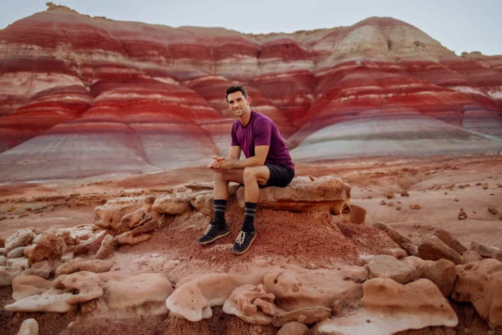
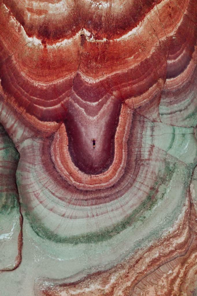
When you drive up, you’ll see rings of mostly reds, maroons and oranges around the hills, with a tinge of purple in one layer.
Right around sunset, the blues emerge.
Many of the pictures posted online are overly-saturated and exaggerated when it comes to the colors in the Bentonite Hihlls. It’s really unnecessary since nature’s colors are stunning as they are.
Photography at Bentonite Hills, Utah
The best photos and pictures at Bentonite Hills are taken right around sunset, when the area is evenly covered by a beautiful glow.
Photographers call it “blue hour.”
This is the time when the reddish-orange hues in the mountains turn more vibrant shades of red, purple, and yes- blue, too.
If possible, get to the site at least an hour early. You’ll need time to scout the best places to shoot and fly the drone, since “blue hour” doesn’t last long!
Driving up to the site on a bright, sunny day, you’ll notice: the rings around the hills are more muted and reddish. Cloud cover will help bring out more colors, but you really do need to wait for the hour around sunset to get the rich blue and green colors in the clay to come out.
Are drones Allowed Over “Mars?”
Yes, drones are permitted here on the BLM land.
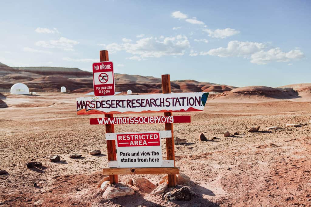
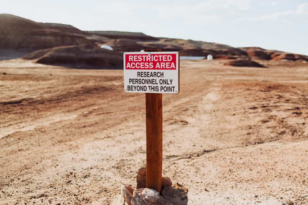
Along the dirt road, you’ll see “No Drone Zone” signs, but they apply to the government-owned land leased by the MARS Desert Research Station.
Less than a mile beyond the MARS location, you’ll find the rainbow-ringed mountains where you can launch your drone.
Again, if you’re aiming to get photos during the ideal “blue hour” timeframe, I’d definitely get there an hour or two early so you can launch, and look for the best spot for photography.
It’s an expansive area, and you’ll only have a brief time for “blue hour” lighting, so you’ll want to choose those spots before the light is right.
The sun sets after 8:30pm in the summer, and it starts rising before 6:00am. A winter visit will mean a sunset in the 5 o’clock hour.
the Geology of the Rainbow Hills in Utah
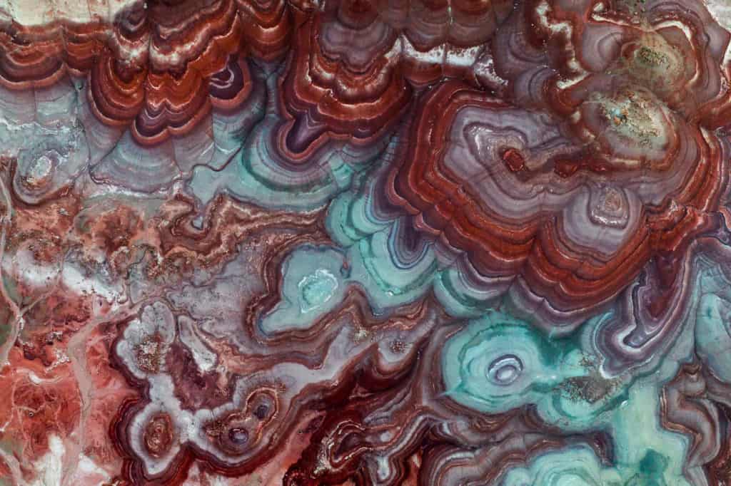
The rainbow rings around the hills are from mud, sand, and volcanic ash which landed in ancient swamps.
The National Parks Service says the hills are from the Jurassic Period, so around 140 million years ago.
Bentonite clay is volcanic ash, which becomes muddy, and difficult to hike or drive on when it rains.
The bumpy surface of the hills, which some say looks almost like popcorn up close, is the result of the clay absorbing rainwater and drying out, time-after-time over the years.
Can You Walk on Bentonite Hills?
The short answer is: yes, but with caution.
There are no marked hiking trails to follow through the rainbow hills, so walk carefully.
The surface changes over time with storm activity. The wet/dry cycle creates a popcorn-like surface on the hills, which you should avoid cracking or disturbing.
You’ll find wash areas created by rain, which you can follow up the side of the hill. Plus, animals create paths around the mounds which you can walk along without disturbing the landscape.
People in town told me that they often see visitors hike up Bentonite Hills without any thought, make a mess of the natural lines on the hills, slide down the mountains, and disrespect the beauty of the site.
We also heard stories in Hanksville of tourists knocking over some of the rock formations in the region, and facing a $40,000 fine from the BLM.
I was pleased to not find any evidence of careless, behavior on our trip, but I’m sure at a site like this, it does happen.
Where to Stay Near Bentonite Hills
Hanksville is a small town with a few hotel and rental options, plus a great burger restaurant with friendly people.
You can use this interactive map to search around for what’s available:
➡️ Hotel Recommendation: Whispering Sands Hotel
We were happy at the Whispering Sands Hotel. It’s recently renovated, and they accommodated our late-night check-in time.
➡️ RV / Camping Recommendation: Duke’s Slickrock
We were surprised to hear that the unique landscapes in the region are attracting more people from around the globe. The town had just hosted a wedding party from New Zealand of a couple dozen people!
➡️ Restaurant Recommendation: Duke’s Slick Rock Grill
Since you’ll likely stick around Bentonite Hills until after sunset (after 8:30pm in the summer) you’ll appreciate a late night meal at Duke’s Slick Rock Grill, which is open until 10:00pm.
Camping Around Hanksville, Utah
Cole Mine Wash is a popular spot, near Factory Butte and Moonscape Overlook.
The land is desolate. You won’t find any trees for shade, but you will find an incredible moonscape!
The winds can come howling through here, though, so be prepared.
You can also camp at nearby Goblin Valley State Park, but book in advance. It was full when we visited!
➡️ Jared’s Detours Blog & Photos: Goblin Valley State Park
The Weather around “Mars Utah”
Summers are hot!
It was unexpectedly hot during the midday hours in Hanksville, approaching 100 degrees.
Temperatures dipped nicely after sunset into the upper 60s.
During the summer, be prepared for monsoon storms to bring heavy rain at times. They’re unpredictable so make sure you have a weather app with radar on your phone to check before you head down the dirt roads.
During our visit, it rained each afternoon for a while, then cleared up.
What else is near Bentonite Hills?
This is a remote area, which makes a perfect road trip through Southern Utah.
It had been on my list for a while as a “site to see,” and I was excited to find all kinds of unique, interesting terrain near Bentonite Hills.
🔘 Moonscape Overlook & Factory Butte
In addition to Capitol Reef, you’ll find several other natural wonders nearby, which are included in one of the tours offered from Torrey:
➡️ Click for Tour: Bentonite Hills, Moonscape Overlook, Factory Butte
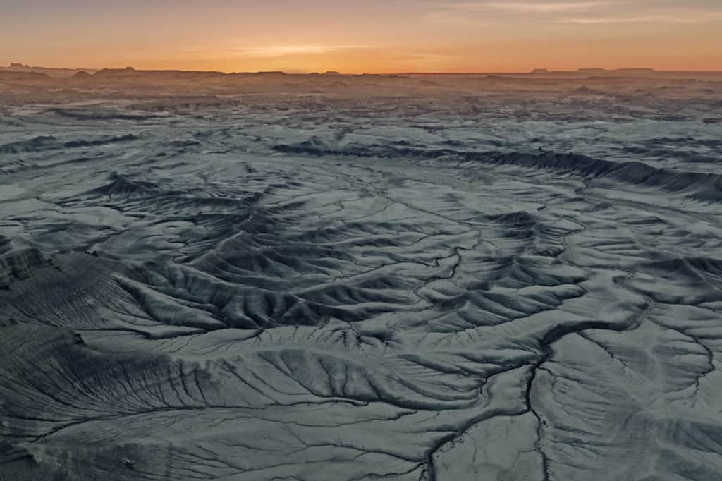
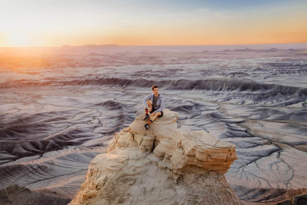
Factory Butte and Moonscape Overlook (found as “Moon Overlook” on Google Maps) are two other scenic landscapes to check out.
These are only a few minutes away from each other.
I’d recommend Moonscape at sunrise. In fact, get there an hour before sunrise to catch the perfectly eerie, other-worldly landscape emerge as the sun creeps up.
Bring your drone if you have one!
Factory Butte is on the same series of dirt roads which lead to Moonscape, though less fascinating to me than the other sites in the area.
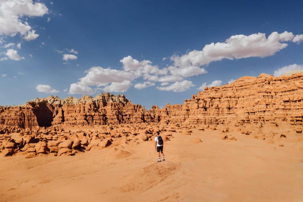
Goblin Valley State Park is also close to Bentonite Hills, and worth a half-day visit.
➡️ Click here for my full blog and many more photos from Goblin Valley!
🔘 MARS Desert Research Station
The MARS Desert Research Station (MDRS) comes up as “permanently closed” on Google Maps, but it’s open!
This is as close as you’re allowed to get, without an invite:
The site, which is leased by the government, isn’t exactly open to the public, but it’s very much in operation.
The MARS Desert Research Station is private, and operated by the “Mars Society,” which hosts field training missions for scientists, engineers, and students.
They say the isolation of the site, along with the Mars-like environment, creates the perfect opportunity to run Mars simulations. The research focuses on training for humans to eventually visit Mars.
The circular dome-type structure was built in 2001, and houses up to seven people at a time.
It houses living areas, a bathroom, dining and kitchen areas, labs, workshops, and more. It’s complete with an air-lock, designed to mimic what scientists might actually live and work in on Mars.
Other structures over time have included a telescope, a greenhouse with crops, and geological and microbiological labs.
The buildings have had above-ground tunnels linking them in the past, but they appear to have been dismantled at least for now.
Over the past 20+ years, more than 1,000 people have been part of the MARS Desert Research Station “crews.”
As we visited Bentonite Hills, the MDRS was proudly celebrating an alumnus, Jessica Watkins, who was part of a six-month mission onboard the International Space Station!
They’d also just wrapped up their annual University Rover challenge, which brings in students from all over the world.
So, yes, the MARS Desert Research Station is open, for sure!
You can drive by the site, and check out their tents, campers, and igloo setups from a viewpoint parking area, before driving a bit more down the dirt road to Bentonite Hills.
Capitol Reef National Park to Bentonite Hills
Capitol Reef is the only national park which is at least partially free to drive through, since Utah’s State Route 24 goes through park property.
The National Park is a 25-mile drive west of Cow Dung Road.
St. George, Utah, to Bentonite Hills
St. George, which has a nice, small airport, is still quite a drive from Bentonite Hills and Capitol Reef.
St. George is about 250 miles from Hanksville, and at least a four-hour drive.
Moab to Bentonite Hills
If you’re going to Arches National Park in Moab, Utah, Bentonite is a great day trip opportunity.
It’s about a 115-mile drive, which you could cover in under two hours.
I’d still stay overnight in Hanksville after your visit, since you’d likely be leaving Bentonite after sunset.
Salt Lake City to Bentonite Hills
Salt Lake is a lengthy 4+ hour drive, and about 230 miles from Hanksville, Utah, but you’ll see interesting things along the way.
Goblin Valley State Park is nearby, and is incredible! It’s perfect for a half-day stop on the drive to Bentonite Hills.
We flew into Salt Lake City early in the morning, made it to Goblin Valley by 1:00pm, and left by 5:30pm to make it to Bentonite Hills before sunset. (Of course, your timing will differ, depending on the time of year.)
Wrap: Are the Bentonite Hills Worth the Drive?
I admit: Bentonite Hills only recently entered my world, via social media.
As with many sites that become “Insta-famous,” this one looks wildly different from most of the posts, which (as I mentioned) are overly-saturated with color.
I found the natural beauty to be well worth the drive to this remote area.
Plus, it was such a pleasant relief to find it empty! I’m sure there are times when multiple vehicles can be found pulled-off Cow Dung Road, but it was quiet and peaceful and more beautiful than I imagined.
And if you’re not into navigating the route on your own, this tour will take you to the best sites this part of Utah has to offer:
➡️ Tour: Bentonite Hills, Moonscape Overlook, Factory Butte
Check out our videos from other spots in Utah:
