The Alamere Falls Hike: The Best Point Reyes Trail
BY JARED DILLINGHAM
THE ALAMERE FALLS HIKE IS THE BEST POINT REYES TRAIL
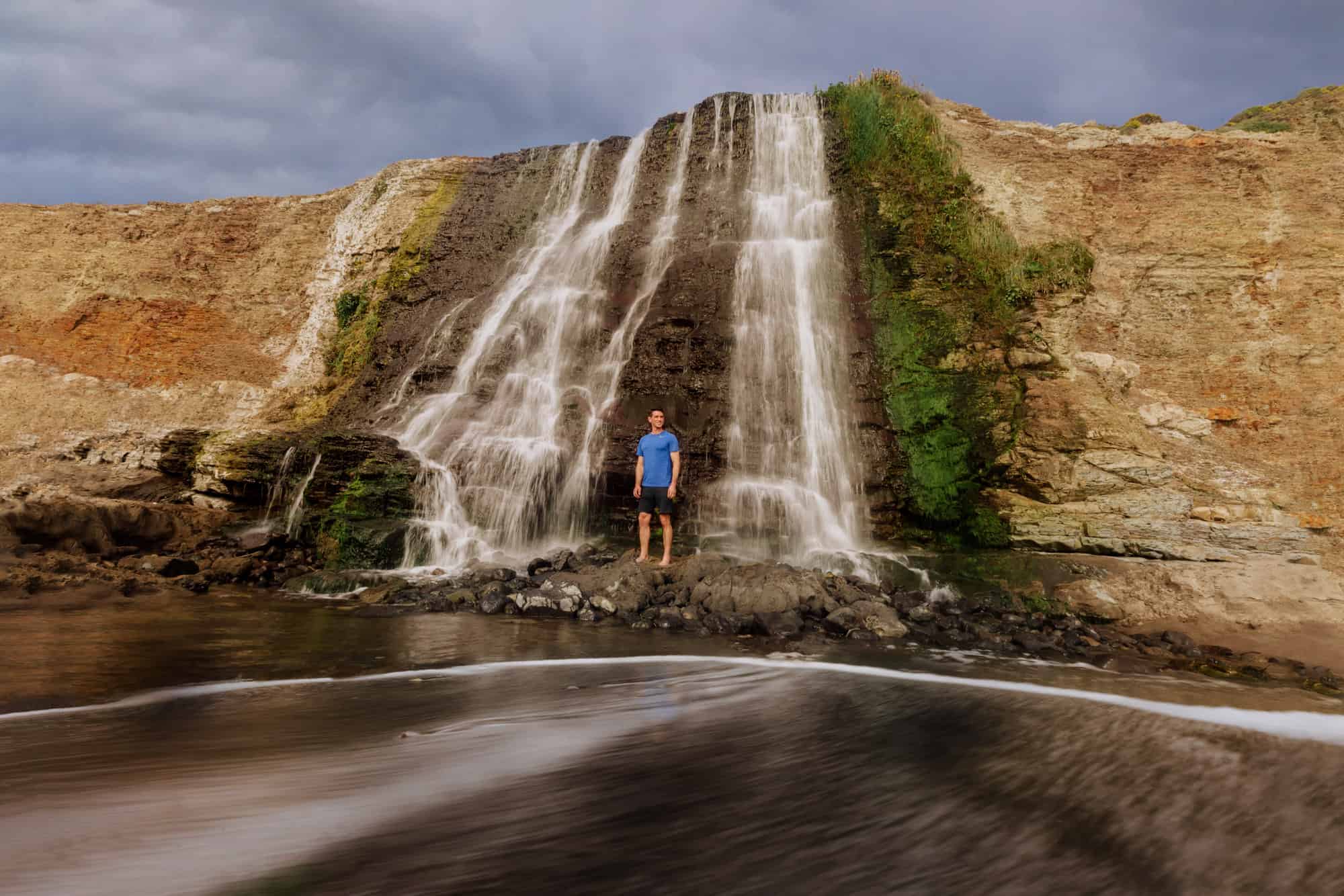
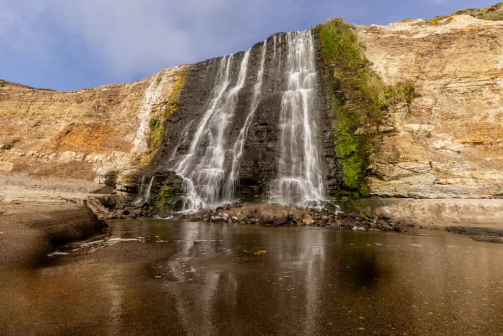
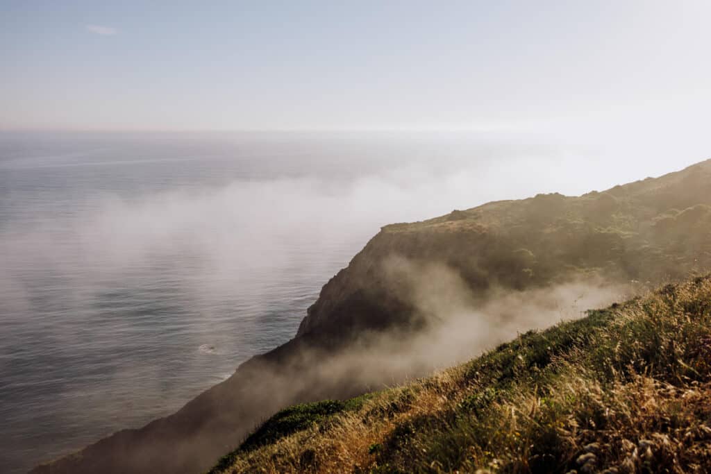
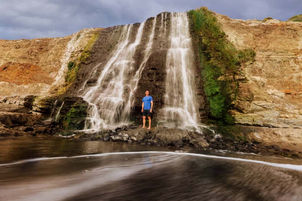
The Alamere Falls hike leads to a stunning waterfall, at Point Reyes National Seashore in Northern California. It’s rare to see a waterfall cascade right off a cliff to a sandy beach below! Plus the hike to Alamere Falls is stunning on its own, making it my favorite Point Reyes trail.
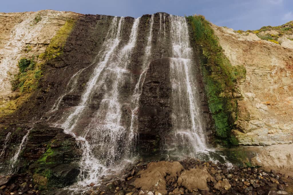
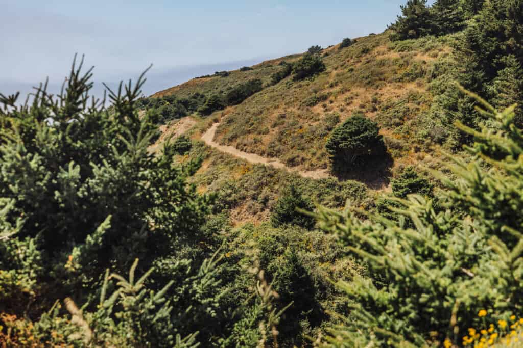
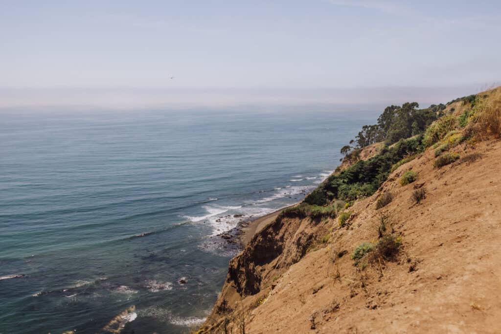
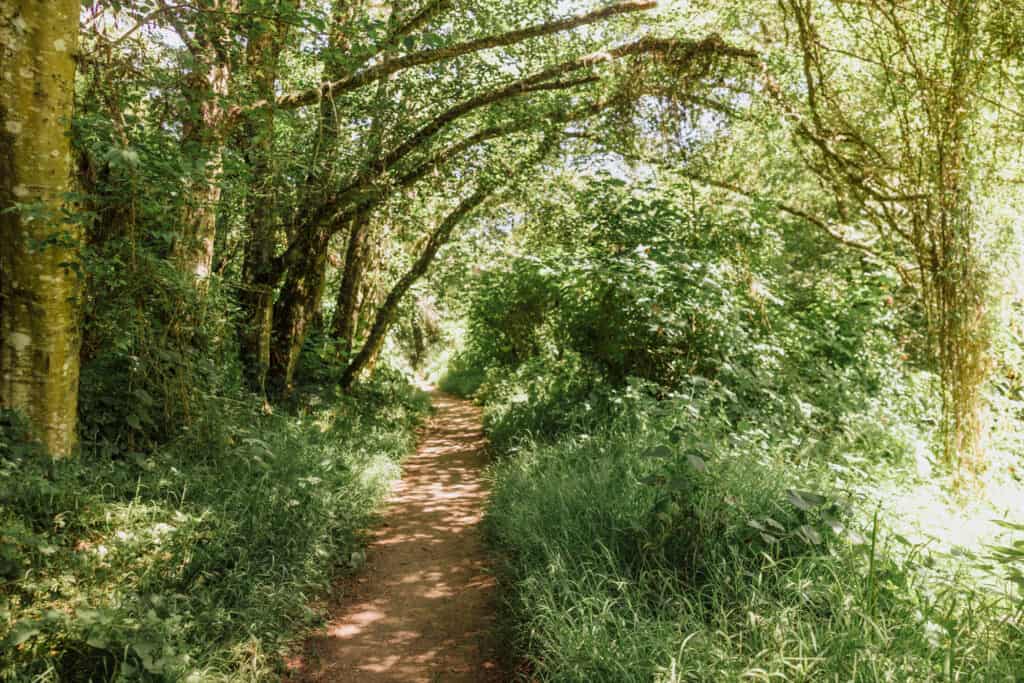
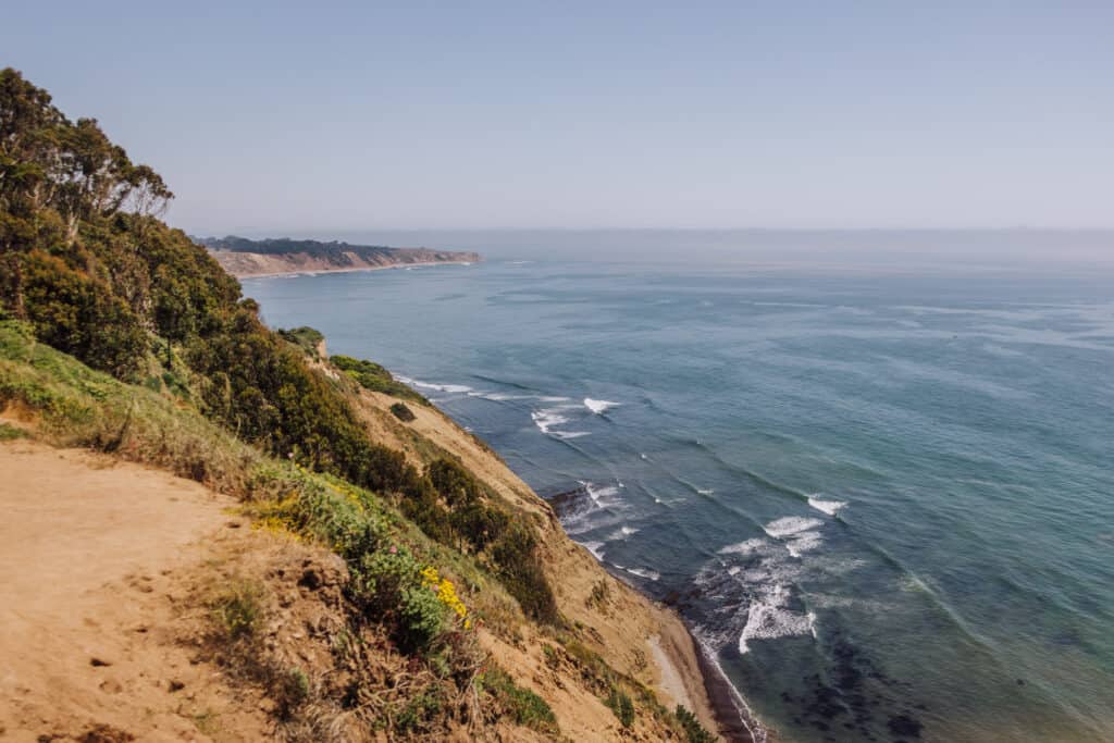
Alamere Falls drops 40 to 50 feet down a cliff, onto the beach below. The hike to the waterfall will take you through several different environments, from coastal cliffs, to a narrow maze through tall shrubs and vines, to a pine tree canopy-covered trail.
The Alamere Falls hike is a great day trip from San Francisco, or part of a longer visit to Point Reyes.
➡️ CLICK TO BOOK: Tour of Point Reyes from San Francisco
Key Advice for Hiking to Alamere Falls
This advice applies to any activities at Point Reyes National Seashore.
Download Maps to Use Offline
Cellphone reception is spotty (at best) at Point Reyes, so download these two apps to use:
- All Trails (the Pro version, which allows you to download maps for trails, including the Alamere Falls Hike.)
- National Parks Service App (which is free, and allows downloads of all information on the entire park to be used offline.)
The apps will still open, despite a lack of cell service, and you’ll still be able to follow your location along the trails. It’ll appear as a GPS dot on the map for you to follow as you hike the best Point Reyes trail (and others!).
Bring Food & Water
There are few food options in or around the park. Make sure to load up on supplies before driving in.
Wear Layers
The weather at Point Reyes can change rapidly. Fog moves in quickly, cooling things off. The sun pops out, raising temperatures into the 80s during the summer. You’ll want options to cover whatever conditions Mother Nature produces during your visit!
What to Expect at Alamere Falls
The payoff at the end of the lengthy hike is the unique coastal waterfall.
The amount of water cascading off the cliffs will change with the seasons, and usually be strongest in the spring.
You won’t be alone at Alamere Falls. The hike is very popular, so expect a crowd, taking turns as they photograph this beautiful site.
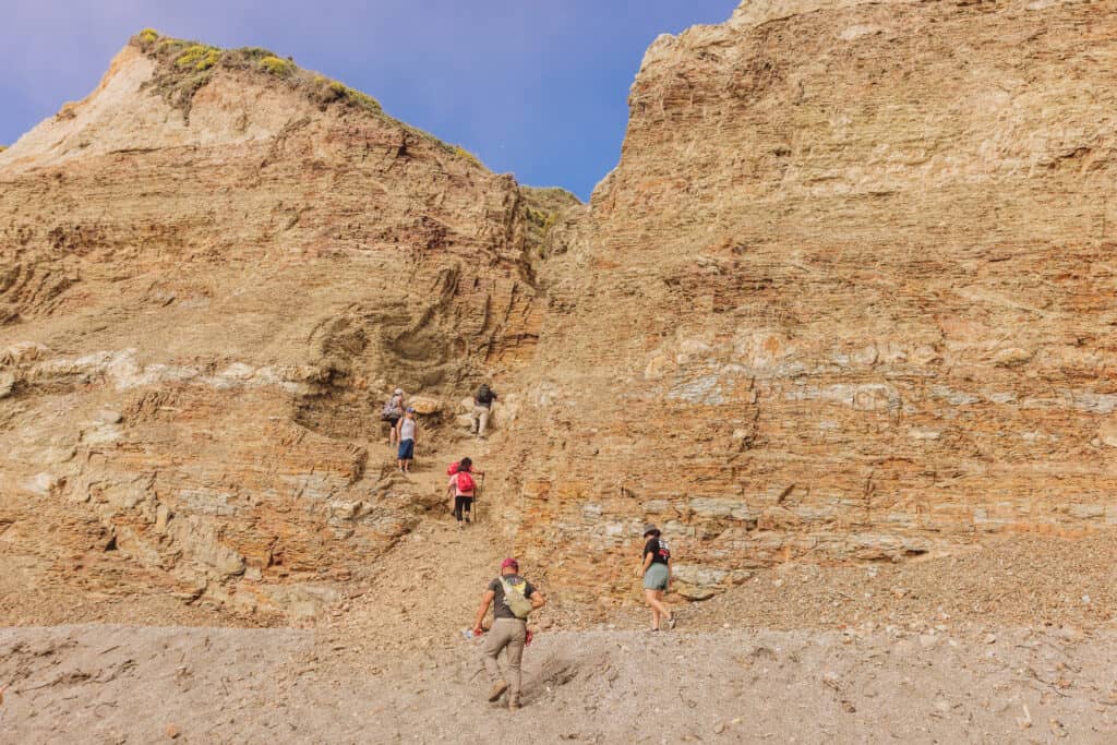
There are no signs telling visitors not to climb the cliffs, and you’ll see many scaling the crumbly rocks to the left of the waterfall.
Many people choose to relax on the cliffs above Alamere Falls and enjoy the view before heading back to the trail.
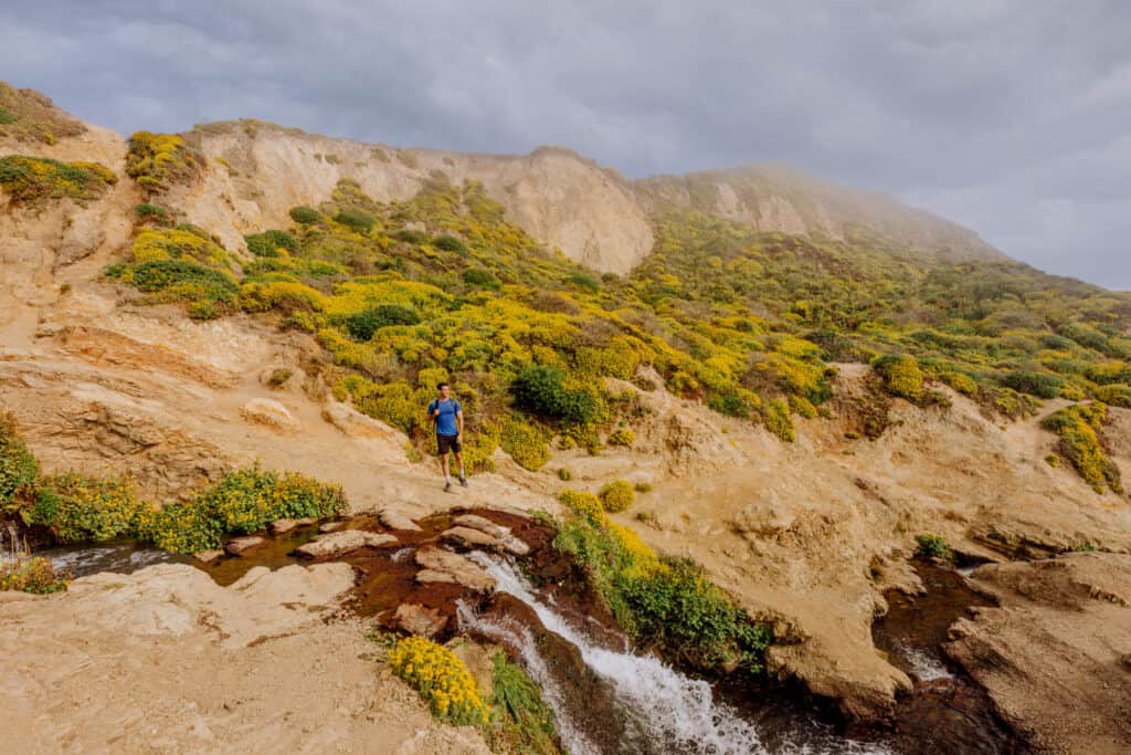
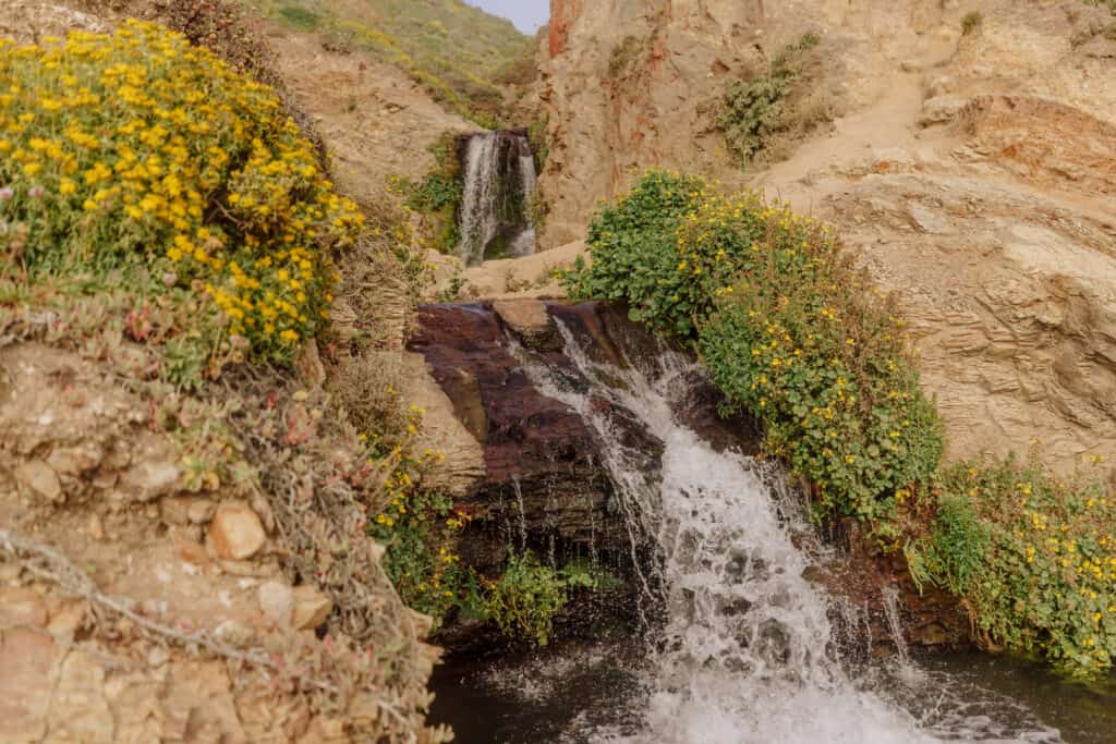
You’ll find a beautiful series of smaller cascades above Alamere Falls.
Directions to Alamere Falls at Point Reyes
The waterfall is within the boundaries of Point Reyes National Seashore, northwest of San Francisco. Depending on traffic, it can take an hour or two to get there from the Golden Gate Bridge.
The shortest route is taking the windy California Highway 1 North, also called the Shoreline Highway, through Stinson Beach.
Alamere Falls Mile Markers
🔘 Golden Gate Bridge to Palomarin Trailhead: 29 miles
🔘 Palomarin Trailhead to Bass Lake: 3 miles
🔘 Palomarin Trailhead to Wildcat Campground: 6 miles
🔘Palomarin Trailhead to Alamere Falls: 7 miles
🔘 Roundtrip hike to Alamere Falls: 14 miles
🔘 Roundtrip hike using the Alamere Falls shortcut: 8 miles
The Best Route to Alamere Falls: The Palomarin Trailhead
While a few trailheads will lead you through the Phillip Burton Wilderness to Alamere Falls, the Palomarin Trailhead is your best option.
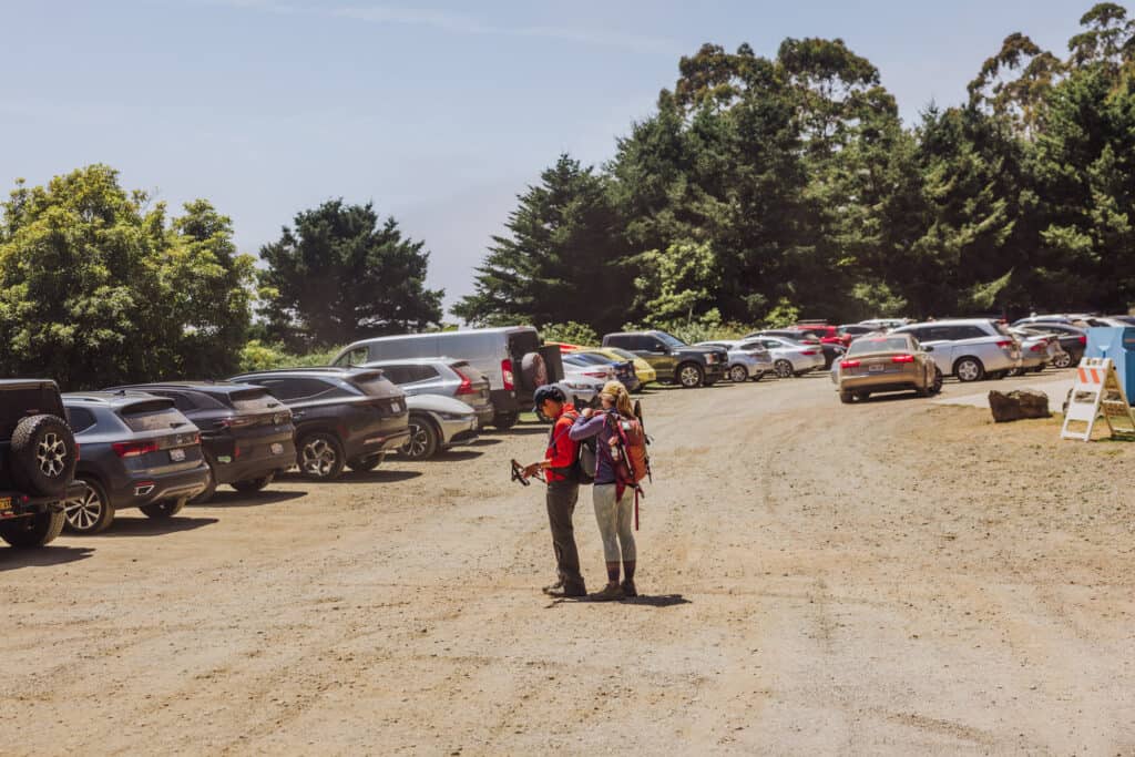
The parking lot is decent-sized, even for busy weekend days in the summer. Overflow parking goes out onto the street.
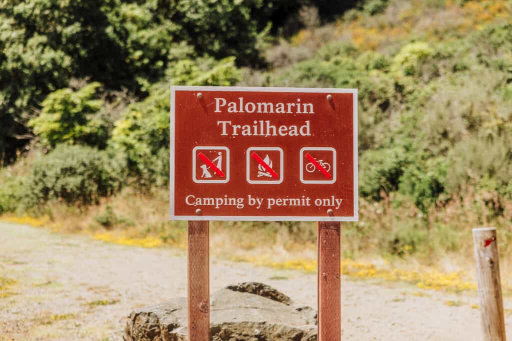
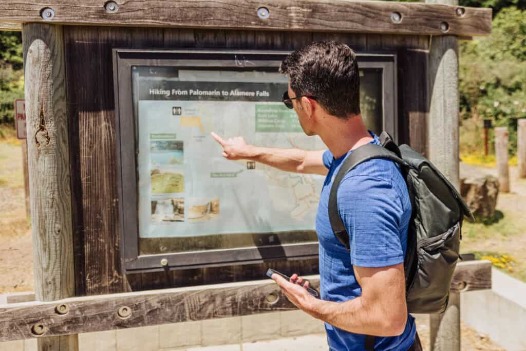
The trailhead has vaulted bathrooms, plus recycling and garbage bins, and a map of the area to check out before you hike to Alamere Falls.
The Trail to Alamere Falls
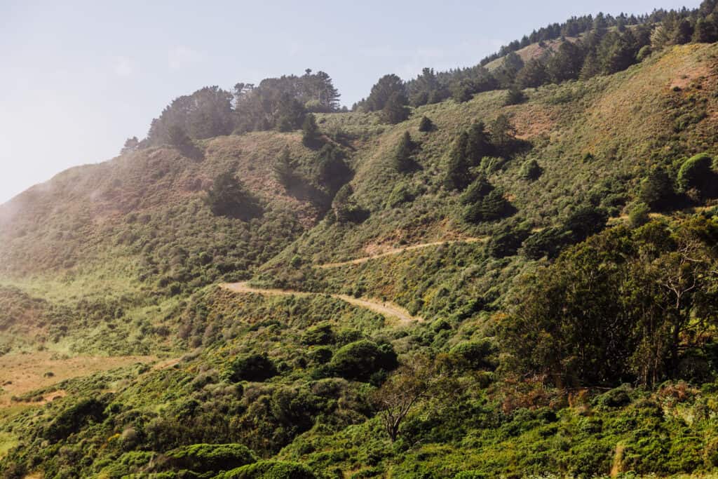
This is, in my opinion, the best Point Reyes trail because it’ll take you through so many different environments. There’s no major change in elevation, and the trail itself is well-maintained and easy to follow.
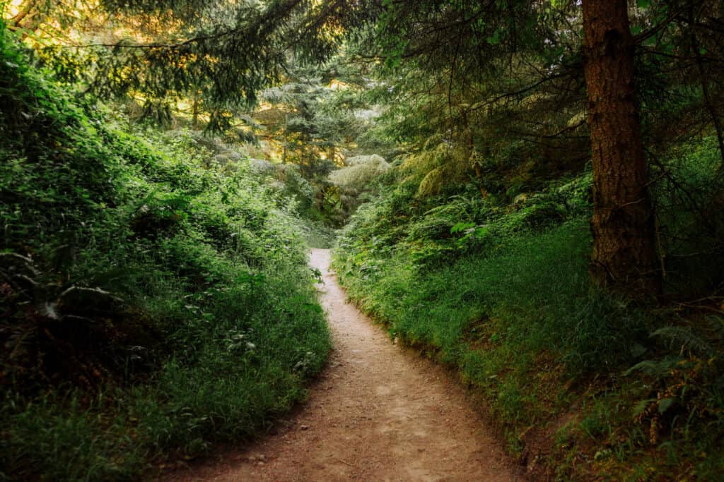
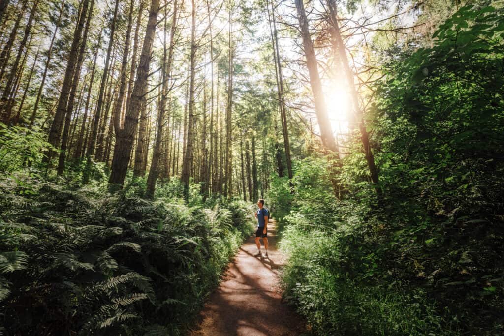
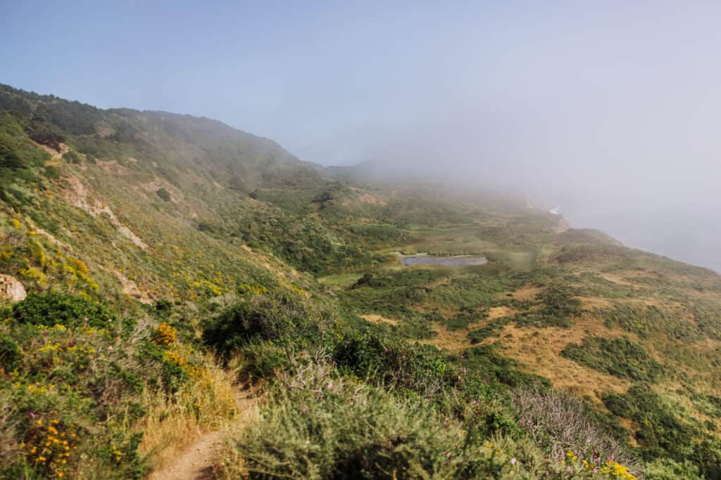
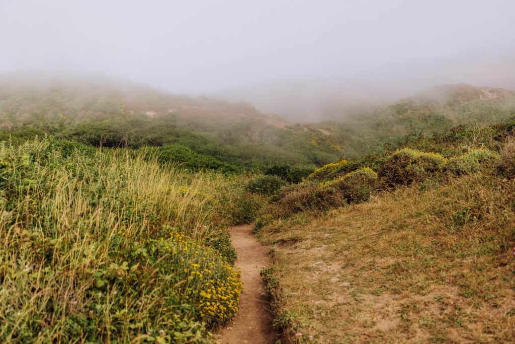
The trail to Alamere Falls starts off shaded, through a lush forest, before emerging along coastal cliffs.
Then you’ll go back under the forest canopy again.
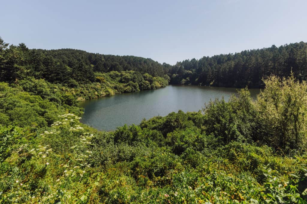
You’ll pass marshes, and then Bass Lake.
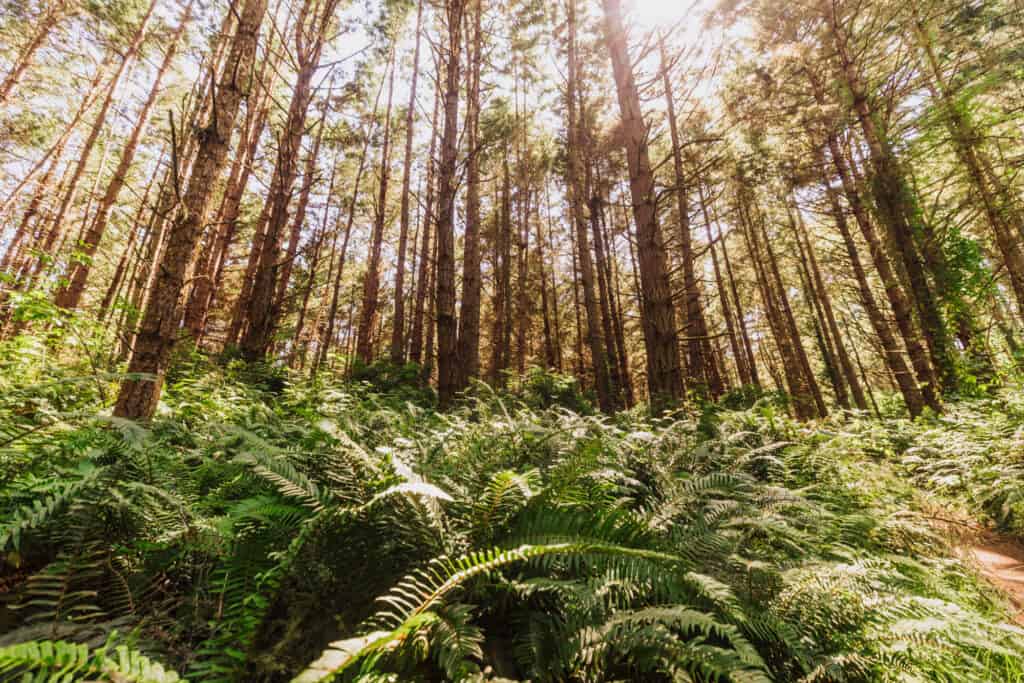
The trail turns lush, lined with ferns, surrounded by towering pines. This is one of my favorite parts of the Alamere Falls hike. The sun shining through the trees was beautiful, but I think a foggy day would be just as picturesque!
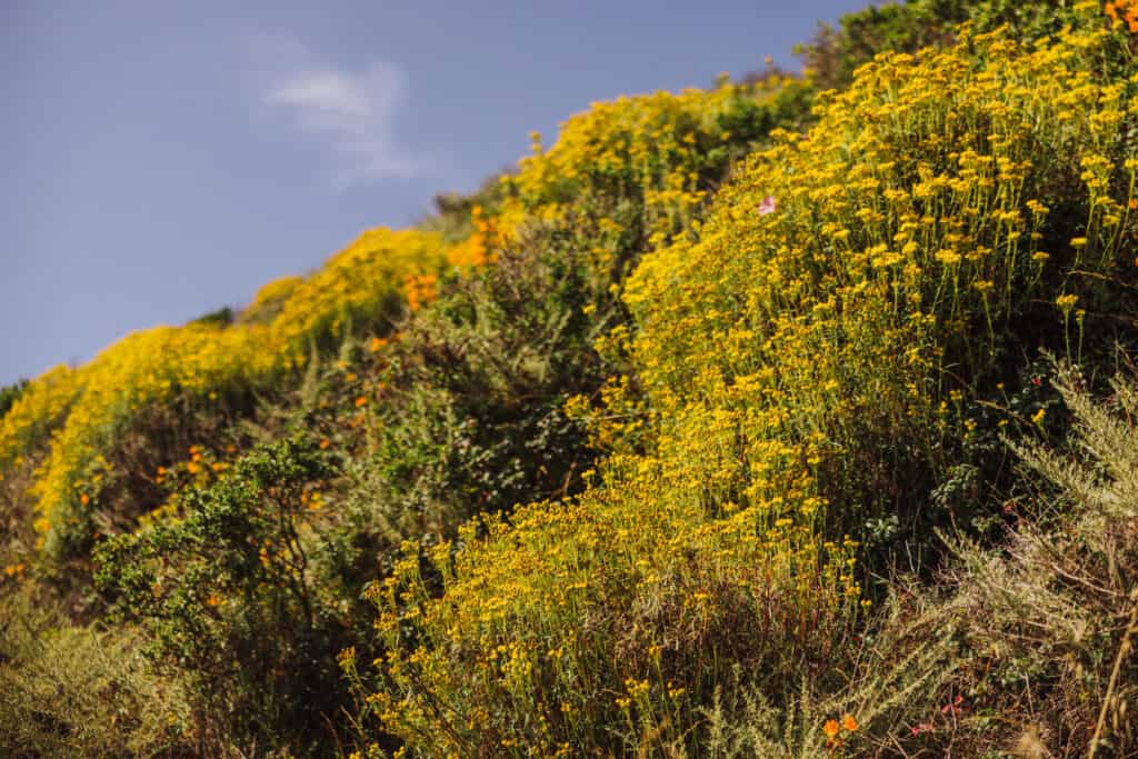
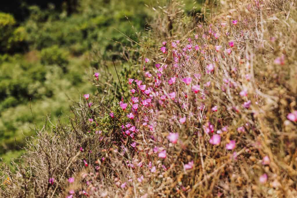
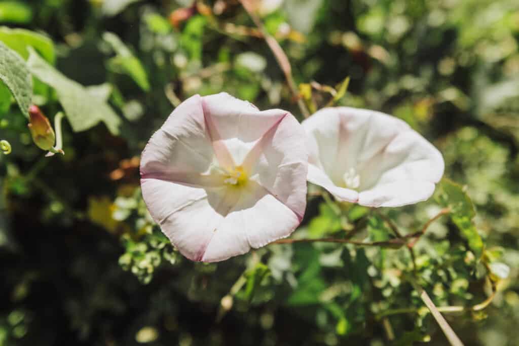
The whole hike to Alamere Falls, during the spring and summer, you’ll be walking by wildflowers and raspberry bushes.
Wildcat Campground to Alamere Falls
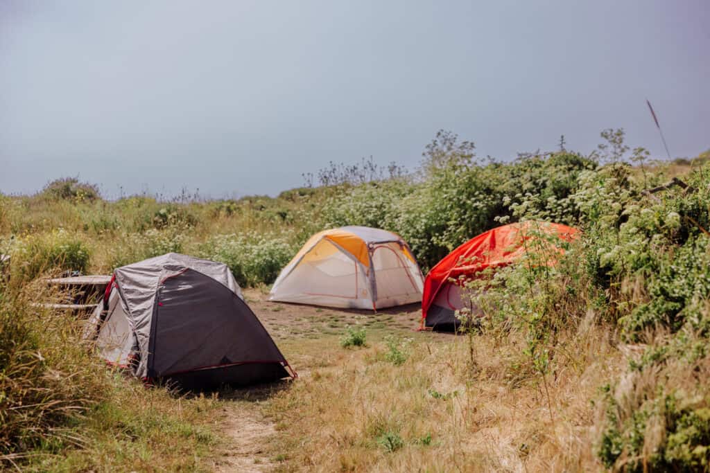
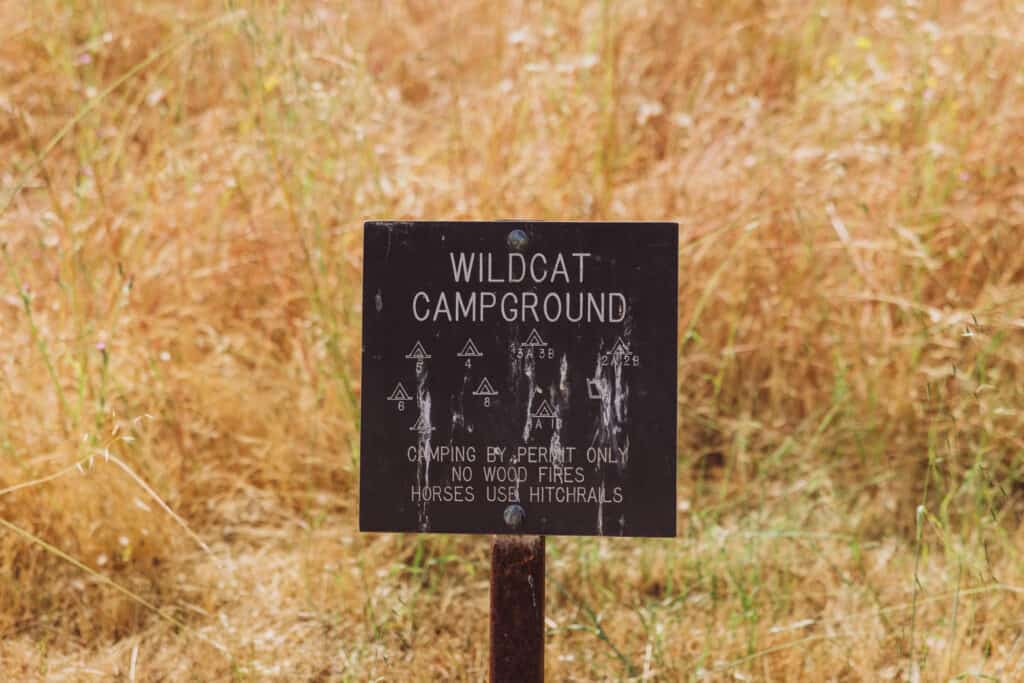
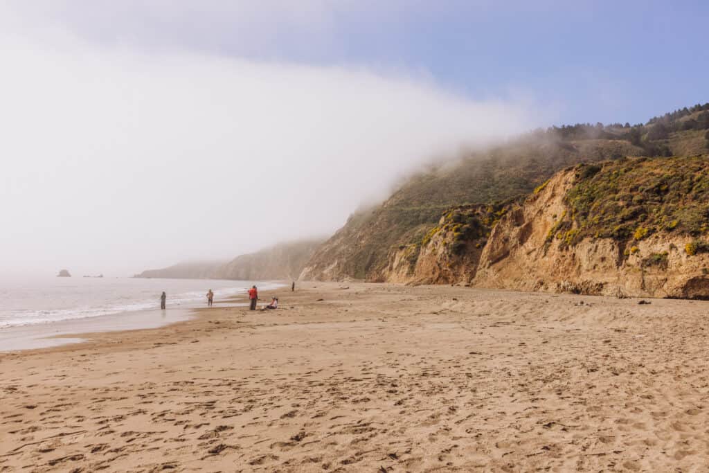
Wildcat Campground and Beach is a six-mile hike from the Palomarin Trailhead.
The campground itself isn’t crowded, since it requires a lengthy hike in. People come here to fish and relax on the beach.
Camping is by permit only, in a field above the beach. There’s an outhouse, but no other amenities or services
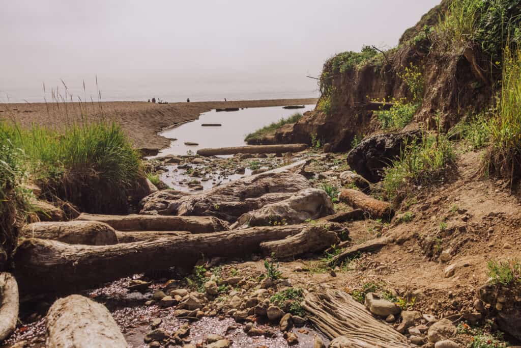
From the Wildcat Campground, you’ll follow a creek that leads you down to Wildcat Beach.
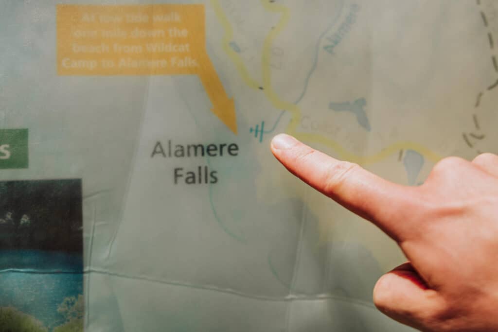
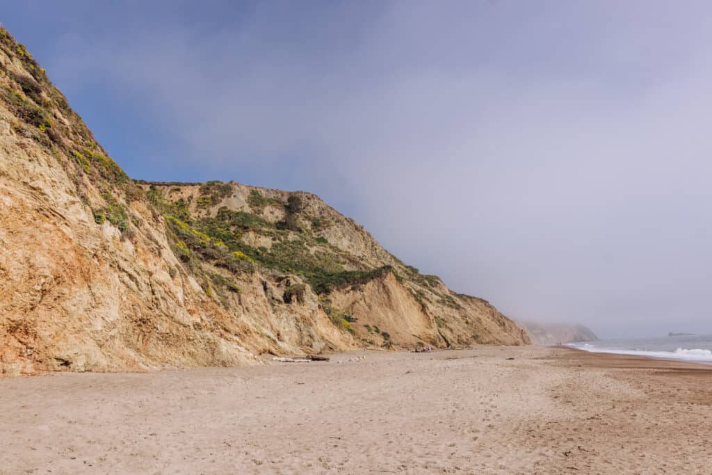
From Wildcat Beach, it’s a one-mile walk down the coast to Alamere Falls.
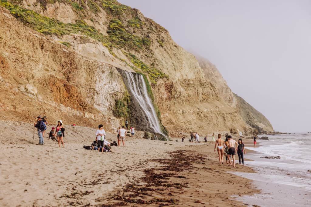
Depending on the fog, you’ll start to see the falls on the cliff in the distance pretty quickly.
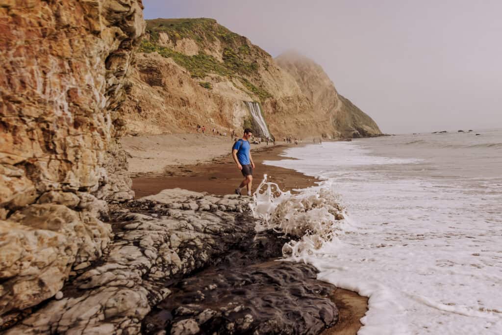
Again, the tides will be important. During high tide, your coastal route might be cut off at one point down the sandy beach, closer to Alamere Falls.
This photo shows the spot along a rocky part of the coast, where the tide might cut-off your access to Alamere Falls. It was taken two hours after low tide and you can see the falls just down the beach:
And again, you’ll be able to climb up off to the side of the main waterfall to explore smaller waterfalls upstream.
Total Distance to Alamere Falls
The official hiking trail from the Palomarin Trailhead to Alamere Falls is seven miles in each direction.
The Alamere Falls shortcut, which park rangers say should *not* be used, will shave three miles off each way.
More on that below ⬇️⬇️⬇️
The Alamere Falls Hike Shortcut
First, I’m not condoning the use of the shortcut to Alamere Falls. Why would you want to cut the best Point Reyes trail short!?
With that said, it exists … and a LOT of people use it.
The Alamere Falls shortcut shaves three miles off the hike, each way. The 13+mile hike could be cut down to 7+ miles.
Anecdotally, I’ve heard of rangers stopping hikers at the shortcut trailhead, so it might not always be an option.
The Alamere Falls shortcut is well-worn, and there are no signs up along the trail warning hikers against taking it. Frankly many people take it, not realizing it’s officially “off limits.”
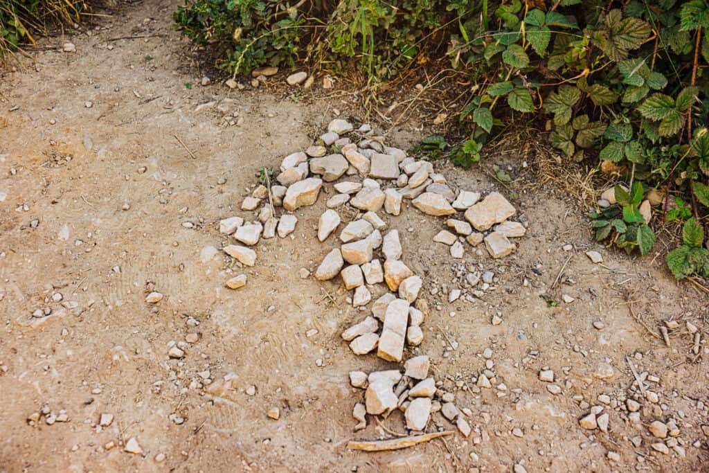
The entrance to the shortcut to Alamere Falls is easily missed, about four miles into the hike.
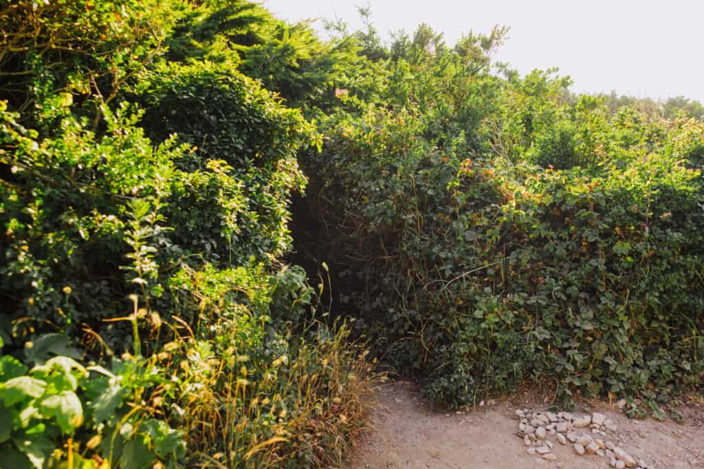
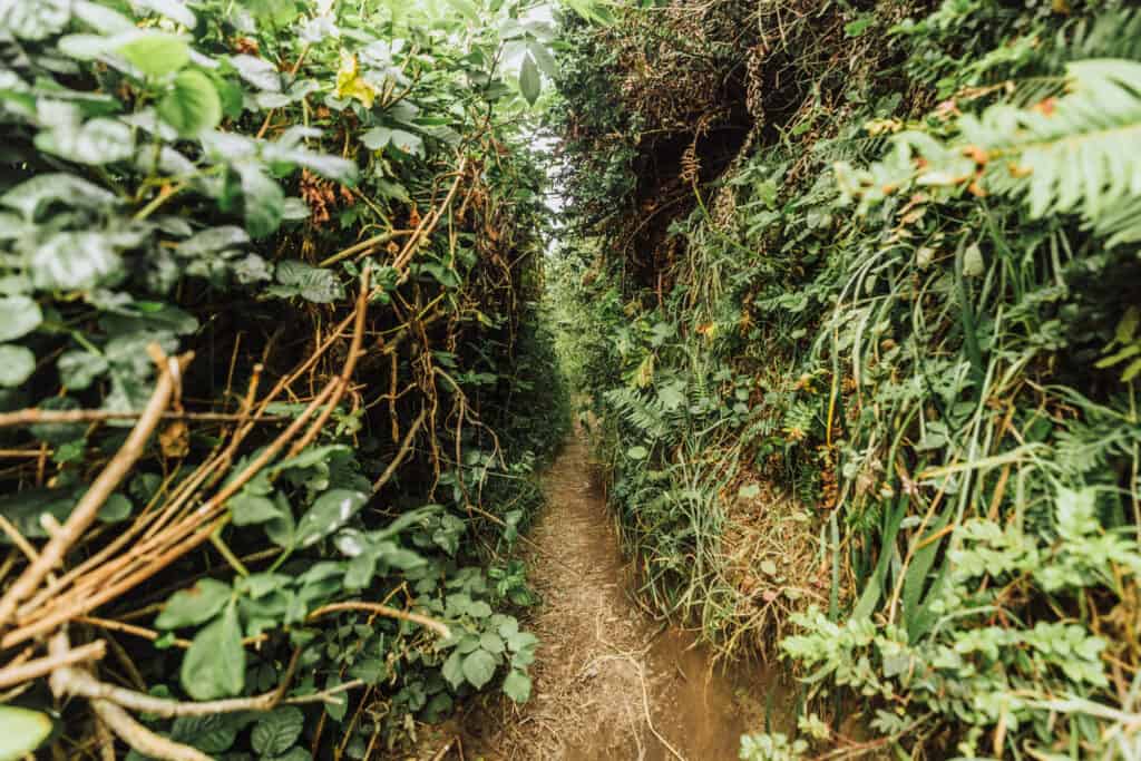
There’s often an arrow made of rocks on the dirt trail, pointing toward an opening in some bushes which looks like it’s fit for a hobbit.
The shortcut trail to Alamere Falls is narrow, and at times you’ll have to duck low under branches and through overgrown brush. This is what it looks like just inside the entrance:
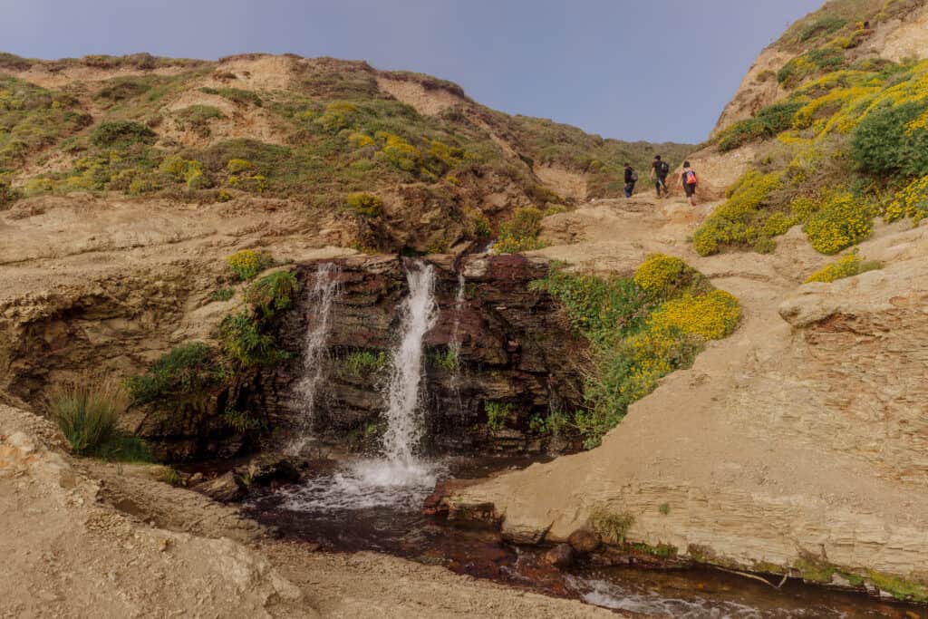
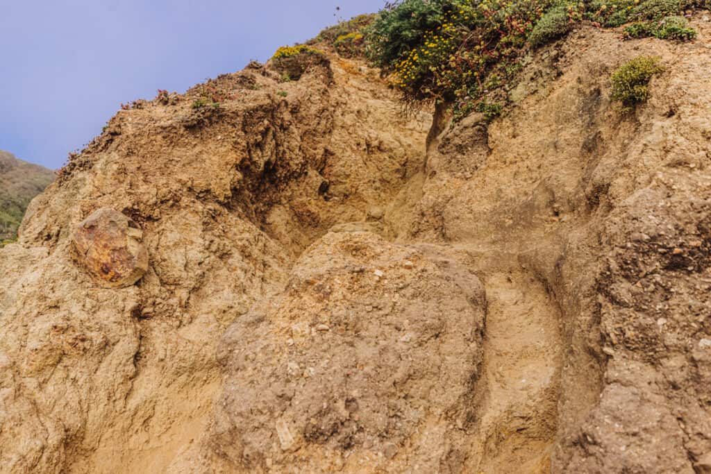
The Alamere Falls shortcut trail will eventually drop you off at the top of the waterfall, above the beach. This is where park rangers say people get hurt. There’s a steep, crumbling rocky cliff you’ll have to climb down to get to the beach. This is what it looks like from the beach below:
People of different hiking abilities will, of course, have drastically different opinions on how easy it is.
I’ll leave it at that.
I *will* say: the full length of this Point Reyes trail is very pretty, and during the summer you’ll find many more wildflowers beyond the entrance of the shortcut!
I truly think it’s worth taking the trail along the entire Alamere Falls hike, if you have the time. With that said, some people opt to do the full trail on the way to Alamere Falls, and take the shortcut back to the trailhead. That strategy will save three miles.
The Alamere Falls Hike Trail Map
The National Parks Service has a few good maps on the main Point Reyes National Seashore website, including the Alamere Falls map.
Again, I’d definitely recommend downloading the NPS app, and downloading the entire section on Point Reyes to use offline. It’s entirely free, and you’ll be glad to have it inside the park, where there’s very little cellphone reception.
The Tides are Key at Alamere Falls
While the usual advice for a popular trail is: “get there early,” that doesn’t necessarily apply to the Alamere Falls hike.
More imporant than the time of day you begin this Point Reyes trail, is the time of low tide. You’ll want to aim to arrive at Alamere Falls within the two-hour window before and after low tide.
If you get there at high tide, your view of the falls and your access to them might be limited on the beach below.
Alamere Falls Tide Chart
You can find a tide chart in a number of locations to help you decide what time to set off on the Alamere Falls trail.
I usually use the official NOAA tidal charts. They give times for high and low tides each day, plus interesting charts to check out.
The Best Time for an Alamere Falls Hike
June usually brings mild weather and wildflowers, so that’s an ideal time, but really any time of year is worth taking a hike to Alamere Falls.
There’s always a chance that fog will roll in for part (or all) of your hike. Don’t let it get you down: you’ll still be able to get a good view of the falls once you’re down on the beach!
Here’s a general overview of how hiking to Alamere Falls (on the best Point Reyes trail) may change through the seasons:
Hiking to Alamere Falls in the Spring
Springtime, from March to May, can be a beautiful time to hike to Alamere Falls. The landscape is lush, with blooming wildflowers along the trail. The waterfall tends to have a strong and steady flow due to springtime rainfall, making it more dramatic from the beach. However, heavy rains can also create muddy and slippery conditions on the trail, so keep that in mind when you’re choosing your footwear.
Hiking to Alamere Falls in the Summer
During the summer months, the weather is generally drier, and the trail may be less muddy compared to other seasons. The waterfall’s flow can be significantly reduced, especially if there hasn’t been recent rainfall. Still, it’s an enjoyable hike with some level of waterfall at the end. When the sun’s out, it gets hot, so bring plenty of water and sunscreen.
Hiking to Alamere Falls in the Fall
Fall, particularly from September to November, is another really nice time to hike to Alamere Falls. The weather tends to be milder, with cooler temperatures and smaller crowds compared to the summer months. The waterfall’s flow may depend on the amount of rainfall received. Bring layers to wear, since the weather and temperatures can fluctuate over the several hours you’ll be on the trail.
Hiking to Alamere Falls in the Winter
Winter brings the highest chance of rainfall in the area, which means the waterfall’s flow will be strong. On the other hand, trail conditions will be muddier. Bring waterproof gear and footwear that can get messy in the winter. Plus, remember you’l have greatly reduced daylight hours, so your tide window might be more restricted during the winter.
What to Pack to Hike the Best Point Reyes Trail
In addition to signing up for and downloading the All Trails app, and subscribing to their “pro” service, download the Point Reyes section on the National Parks app.
Other things to pack for a hike to Alamere Falls:
- Water & food (limited food options inside the park)
- Layered clothing, since the fog moves in and out
- Sunscreen, even if it’s foggy
Bike to Alamere Falls
While you can’t bike from the Palomarin Trailhead, you *can* ride a bike most of the way, from the Five Brooks Trailhead.
From Five Brooks, it’s 6.5 miles to Wildcat Beach, and then another mile along the beach to Alamere Falls.
The slightly longer hiking option is from Point Reyes National Seashore Park Headquarters. The Bear Valley Trail is nearly 7 miles to Wildcat Beach.
Things to Do at Point Reyes National Seashore
Point Reyes National Seashore offers a range of activities and attractions for visitors to enjoy. Here are some of the top things to do at Point Reyes:
- Explore the Beaches: Point Reyes is renowned for its scenic beaches. From the sandy shores of Limantour Beach to the dramatic cliffs of North and South Beach, there are numerous options for beachcombing, picnicking, birdwatching, and enjoying the stunning coastal views.
- Hike the Trails: Point Reyes boasts an extensive network of hiking trails, catering to different skill levels and interests. The Tomales Point Trail offers breathtaking views of Tomales Bay and the Pacific Ocean, while the Bear Valley Trail takes you through lush forests and meadows.
- Wildlife Viewing: Point Reyes is a haven for wildlife enthusiasts. Keep an eye out for the Tule elk that roam the Tomales Point area, gray whales during their migration season, harbor seals lounging on the rocks, and various bird species, including shorebirds and raptors.
- Visit the Historic Point Reyes Station: The nearby town of Point Reyes Station is worth a visit. It offers charming shops, art galleries, eateries, and the opportunity to taste locally produced cheeses and organic farm products.
- Kayaking and Canoeing: Tomales Bay, adjacent to Point Reyes, provides an ideal setting for kayaking and canoeing. Rent a kayak or bring your own to explore the calm waters, observe marine life, and paddle along the scenic coastline.
- Birdwatching: Point Reyes is a renowned birding destination with diverse habitats attracting a wide range of bird species. Limantour Estero, Abbotts Lagoon, and the Giacomini Wetlands are popular spots for birdwatching and nature photography.
- Camping: Point Reyes offers various camping options, including drive-in campsites and hike-in backpacking sites. Camping allows visitors to immerse themselves in the park’s natural beauty and enjoy stargazing under the dark night sky.
- Cypress Tree Tunnel: The Cypress Tree Tunnel is just off the road, and created when landowners planted a double row of Monterey cypress trees back in the 1930s. Over time, the trees grew and their branches gracefully intertwined, forming a captivating archway. As you walk through the tunnel, you’ll be surrounded by the towering trees and their characteristic blue-green foliage.
- The Inverness Shipwreck: There’s a decaying old fishing boat in the town of Inverness, known as the Tomales Bay Shipwreck, the Inverness Shipwreck, or the S.S. Point Reyes. The prior owner intended to fix the ship, but it never happened. Locals and photographers lobbied to save the wreck, and keep it as an attraction behind the Inverness Market.
- See the Sea Lions & Elephant Seals: From the cliffs near the Point Reyes Lighthouse, you’ll find overlooks where you can watch the marine life on the beaches below.
FAQs About the Alamere Falls Hike
Let’s tackle a few of the frequently-asked-questions about hiking to Alamere Falls. A few of these are answered above, so I’ll go through them briefly:
How long does it take to hike to Alamere Falls?
If you hike the full trail from the Palomarin Trailhead to Alamere Falls at a decent pace, it should take around four hours. It all depends on how much time you spend at the falls themselves … and … if you take the shortcut on the way back.
How long is the Alamere Falls hike with the shortcut?
The shortcut shaves off three miles in each direction. The full hike to Alamere Falls using the shortcut is 8 miles.
How many miles is the Alamere Falls hike?
The entire hike is around 14 miles, but it depends on which trailhead you start from:
- Palomarin Trailhead: slightly less than 14 miles
- Bear Vally Trailhead: 14.6 miles
- Five Brooks Trailhead: 14.8 miles
Are dogs allowed on the Alamere Falls hiking trail?
Dogs are not allowed on the trails to Alamere Falls. There’s a much shorter trail to Kehoe Beach at Point Reyes, which is dog-friendly!
Is the Alamere Falls hike difficult?
The hike to Alamere Falls is not difficult, but it is lengthy. The change in elevation is pretty minimal, though there’s a pretty steep climb as you approach the Wildcat Campground in the final two miles. The trail itself is well-groomed and easy to follow.
Can you Camp at Alamere Falls?
Technically there’s no camping allowed at Alamere Falls. There’s a great campground, mentioned above, a mile down the coast at Wildcat Beach. It’s an uncrowded, relaxing spot that’s great for campfires (permit needed) and fishing.
Can you get to Alamere Falls without hiking?
You can bike to Alamere Falls from the Five Brooks Trailhead. There’s no way to drive to the falls, though I suppose you could cruise along the choppy waters off-shore in a boat.
Is Alamere Falls Open?
Generally, yes. To be sure, check the Point Reyes National Seashore’s “Current Conditions” website.
Can you go swimming at Alamere Falls?
The falls don’t create a swimming pool at the bottom, so there’s not really a swimming opportunity there. Above the main falls, depending on the time of year, you’ll likely find a swimming hole to cool-off in. Otherwise, the waves and water in the Pacific Ocean are pretty rough and the water temperature rarely reaches as high as 60 degrees.
Is the Alamere Falls hike good for seniors?
Everyone’s different, but we saw a number of seniors making the hike to Alamere Falls. Getting to the falls is one thing, but (no matter your age) you have to make sure you have the stamina to make it miles back to the parking lot!
Is the Alamere Falls hike kid-friendly?
Kids who enjoy the outdoors and won’t get bored on a long hike would do well on this trail. Alternatively, they might enjoy shorter hikes to McClure Beach or Kehoe Beach. A visit to Limantour Beach could include a two-mile walk down the coast to the interesting rock formations at Sculpture Beach.
Wrap: Why the Alamere Falls Hike is the Best Point Reyes Trail
Alamere Falls is a really unique natural wonder. It’s truly beautiful to stand back and watch the water fall over a cliff and right into the Pacific Ocean. The views from the cliffs above are stunning, and the trail itself is surrounded by lush landscaping and beautiful wildflowers (depending on the time of year).
If you have a full day to spend at Point Reyes, the Alamere Falls hike is an excellent way to experience the best of this National Seashore.
Check out our other posts about the California Coast:
